 Outdoors Nearby
Upper Rodney Falls
Upper Rodney Falls is a waterfall in Washington, about 7 miles from Stevenson. OpenStreetMap lists it as about 36 feet (11 m) high. There are 8 other named waterfalls within 20 miles.
| Location | Near Stevenson, Washington Directions |
|---|---|
| Trail parking | Hamilton Mountain Trailhead, about 0.8 mi from the falls straight-line distance to Upper Rodney Falls; the trail itself is longer Directions to the parking |
| Height | about 36 ft (11 m) |
Mapped by OpenStreetMap volunteers. Rocks near falls are slippery, so stay on the trail and behind railings.
For the trail to the falls
-
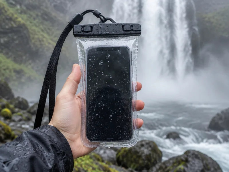 Illustration Lamicall waterproof phone pouch (IPX8) Keeps your phone dry in mist and spray near the falls, and you can still take photos through the clear window. View on Amazon
 -
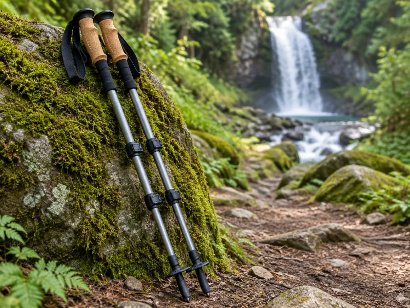 Illustration Bestseller TrailBuddy collapsible aluminum trekking poles (pair) Extra balance on wet rock and steep, muddy trails down to a waterfall. They fold short enough for a daypack. View on Amazon
We haven't tested these ourselves; we chose them by size and specs. As an Amazon Associate we earn from qualifying purchases, at no extra cost to you. Check the current price on Amazon.
More waterfalls nearby
- Rodney Falls 46 ft · near Stevenson · 1 mi Directions
- Hardy Falls 89 ft · near Stevenson · 1 mi Directions
- Cedar Falls near Stevenson · 2 mi Directions
- Elowah Falls 213 ft · near Stevenson · 2 mi · trailhead 0.5 mi Directions
- Upper McCord Creek Falls 66 ft · near Stevenson · 2 mi · trailhead 0.5 mi Directions
- Wahe Falls 79 ft · near Stevenson · 3 mi Directions
- Munra Falls 69 ft · near Stevenson · 3 mi · trailhead 0.6 mi Directions
- Upper Wahe Falls 49 ft · near Stevenson · 3 mi Directions
Frequently asked questions
How do I get to Upper Rodney Falls?
In Washington, about 7 miles from Stevenson, at 45.6433, -122.0146. From Stevenson, follow the directions link and look for the nearest trailhead.
Where is the trailhead for Upper Rodney Falls?
The closest trail parking on the map is Hamilton Mountain Trailhead, about 0.8 miles from Upper Rodney Falls in a straight line. Expect a longer walk than that, especially on switchbacks.
How tall is Upper Rodney Falls?
About 36 feet (11 meters), according to OpenStreetMap.
What other waterfalls are near Upper Rodney Falls?
Rodney Falls (1 mi), Hardy Falls (1 mi), Cedar Falls (2 mi) and Elowah Falls (2 mi).