 Outdoors Nearby
Waterfalls near Walhalla, SC
55 named waterfalls have Walhalla, SC as their nearest town, the tallest mapped one being King Creek Falls at about 66 feet. The closest to town are Isaqueena Falls (4 mi), Yellow Branch Falls (4 mi) and Lohr's Falls (5 mi).
- King Creek Falls 66 ft Directions
- Riley Moore Falls 13 ft Directions
- Blue Hole Falls 10 ft Directions
- Isaqueena Falls Directions
- Andrew Ramey Falls Directions
- Bad Creek Falls Directions
- Bee Cove Falls Directions
- Big Bend Falls Directions
- Bone Camp Creek Falls Directions
- Cedar Creek Falls Directions
- Chauga Narrows Directions
- Cheohee Road Falls Directions
- Crane Creek Falls Directions
- Crane Falls Directions
- Crossland Creek Falls Directions
- Deadfall Falls Directions
- Disappearing Falls Directions
- Double Branch Falls Directions
- Fall Creek Falls Directions
- Final Falls Directions
- Hidden Falls Directions
- Homer's Falls trailhead 1 mi Directions
- Horse Bone Falls Directions
- Ira Branch Falls Directions
- Jim Lee Falls Directions
- Land Bridge Falls Directions
- Lee Falls Directions
- Licklog Falls Directions
- Limestone Falls Directions
- Little Fall Creek Falls Directions
- Little Miuka Falls Directions
- Lohr's Falls Directions
- Long Creek Falls Directions
- Lower Miuka Falls Directions
- Lower Wash Branch Falls Directions
- Middle Long Creek Falls trailhead 0.8 mi Directions
- Midway Falls Directions
- Miuka Falls Directions
- Norm's Falls Directions
- Pigpen Falls Directions
- Pristine Falls Directions
- Prospector Falls Directions
- Reedy Branch Falls Directions
- Rhodo Falls Directions
- Secret Falls Directions
- Side Pocket Falls Directions
- Snider Falls Directions
- Spoonauger Falls Directions
- Station Cove Falls Directions
- Triple Falls Directions
- Upper Long Creek Falls trailhead 0.8 mi Directions
- Upper Pigpen Falls Directions
- Upper Wash Branch Falls Directions
- Yellow Branch Falls Directions
- Yellow Jacket Falls Directions
More waterfalls within 25 miles
- Land Bridge Falls near Walhalla · 2 mi Directions
- Snider Falls near Walhalla · 3 mi Directions
- Chauga Narrows near Walhalla · 3 mi Directions
- Limestone Falls near Walhalla · 3 mi Directions
- Disappearing Falls near Walhalla · 4 mi Directions
- Jim Lee Falls near Walhalla · 4 mi Directions
- Lee Falls near Walhalla · 4 mi Directions
- Ira Branch Falls near Walhalla · 4 mi Directions
- Hidden Falls near Walhalla · 4 mi Directions
- Horse Bone Falls near Walhalla · 4 mi Directions
For the trail to the falls
-
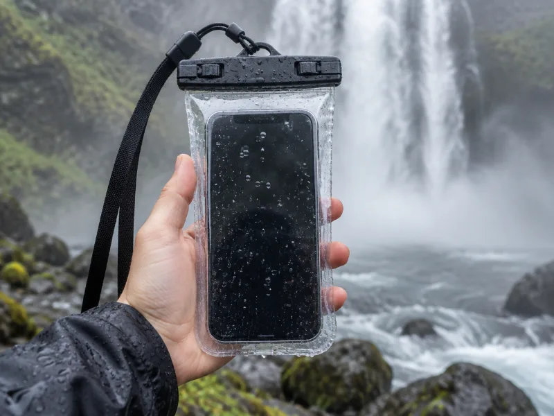 Illustration Lamicall waterproof phone pouch (IPX8) Keeps your phone dry in mist and spray near the falls, and you can still take photos through the clear window. View on Amazon
 -
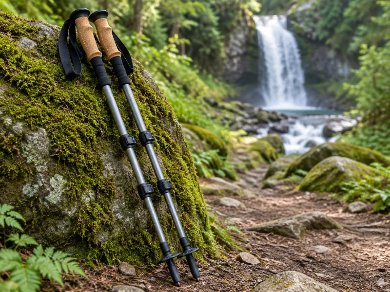 Illustration Bestseller TrailBuddy collapsible aluminum trekking poles (pair) Extra balance on wet rock and steep, muddy trails down to a waterfall. They fold short enough for a daypack. View on Amazon
We haven't tested these ourselves; we chose them by size and specs. As an Amazon Associate we earn from qualifying purchases, at no extra cost to you. Check the current price on Amazon.
Other waterfall areas in South Carolina
Frequently asked questions
Which waterfalls can you visit from Walhalla?
King Creek Falls, Riley Moore Falls, Blue Hole Falls, Isaqueena Falls, Andrew Ramey Falls and Bad Creek Falls and 49 more. Each has a directions link on this page.
What is the tallest waterfall near Walhalla?
Of those with a mapped height, King Creek Falls at about 66 feet.
What other waterfalls are within driving distance of Walhalla?
Within about 25 miles: Land Bridge Falls near Walhalla, Snider Falls near Walhalla, Chauga Narrows near Walhalla and Limestone Falls near Walhalla.