 Outdoors Nearby
Waterfalls in Georgia
We list 63 named waterfalls in Georgia, with the most near Clayton (7), Blairsville (6) and Dahlonega (6). Tallest on the map: Toccoa Falls at about 187 feet.
Waterfall areas: near Clayton (7) · near Blairsville (6) · near Dahlonega (6) · near Cleveland (5) · near Hiawassee (5)
Near Clayton 7
- Bridal Veil Falls Directions
- Caledonia Cascade Directions
- Hurricane Falls Directions
- L'Eau d'Or Falls Directions
- Oceana Falls Directions
- Stonewall Falls Directions
- Tempesta Falls Directions
Near Blairsville 6
- DeSoto Falls Directions
- Helton Creek Falls Directions
- Blood Mountain Creek Falls trailhead 0.5 mi Directions
- Nottely Falls trailhead 0.2 mi Directions
- Sea Creek Falls Directions
- Upper DeSoto Falls Directions
Near Dahlonega 6
- Dicks Creek Falls Directions
- Etowah Falls Directions
- Long Creek Falls Directions
- Lower Canada Creek Falls Directions
- Upper Canada Creek Falls Directions
- Walden Creek Waterfall trailhead 0.7 mi Directions
Near Cleveland 5
- Anna Ruby Falls Directions
- Alana Falls Directions
- Duke Creek Falls trailhead 0.5 mi Directions
- Lower DeSoto Falls Directions
- Raven Cliff Falls Directions
Near Hiawassee 5
- Hemlock Falls trailhead 0.8 mi Directions
- Lower Garrett Branch Falls Directions
- Lower Sorrels Branch Falls Directions
- Upper Garrett Branch Falls Directions
- Upper Sorrels Branch Falls Directions
Near Toccoa 4
- Toccoa Falls 187 ft Directions
- Panther Creek Falls 131 ft Directions
- Battle Creek Falls Directions
- Longnose Creek Falls Directions
Near Mountain City 3
- 501 Falls Directions
- Bull Cove Falls Directions
- Chasm Falls Directions
Near Chatsworth 3
- Emery Creek Lower Falls (1,2) 60, 15 Directions
- Emery Creek Upper Falls (3,4,5) 15, 40, 15 Directions
- Mill Creek Falls (2) 50 Directions
Near Trenton 2
- Hemlock Falls 89 ft Directions
- Cherokee Falls 59 ft Directions
Near Jasper 2
- Fall Creek Waterfall Directions
- Waterfall #4 Directions
Near Dallas 2
- High Shoals Falls Directions
- Wildcat Falls Directions
Near Calhoun 2
- Keown Falls North 35 30 ft Directions
- Keown Falls South 25 Directions
Near Blue Ridge 2
- Little Rock Creek Falls Directions
- Noontootla Falls Directions
Near Chattanooga Valley 2
- Lula Falls 100 Directions
- Lula Lake Falls 30 Directions
Near Holly Springs 1
- Allatoona Falls 20 ft Directions
Near Dawsonville 1
- Amicalola Falls trailhead 0.1 mi Directions
Near Douglasville 1
- Anneewakee Falls 10 ft Directions
Near Ellijay 1
- Barnes Creek Falls 25 Directions
Near Manchester 1
- Cascade Falls Directions
Near Rockmart 1
- Hightower Falls Directions
Near Young Harris 1
Near McCaysville 1
- Jacks River Falls 80 Directions
Near Clarkesville 1
Near Broxton 1
- Rock Falls Directions
Near Roswell 1
- Vickery Creek Falls Directions
Near Berkeley Lake 1
- Water Wheel Directions
Data from OpenStreetMap. Many Georgia falls are on public land; some are private, so respect posted signs. 49 smaller or less documented falls are listed with directions only.
For the trail to the falls
-
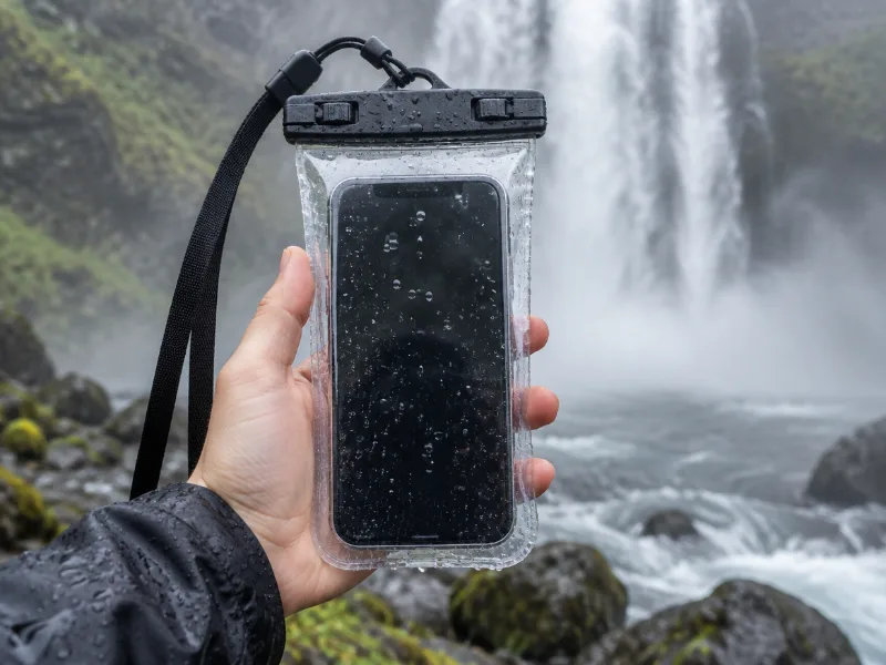 Illustration Lamicall waterproof phone pouch (IPX8) Keeps your phone dry in mist and spray near the falls, and you can still take photos through the clear window. View on Amazon
 -
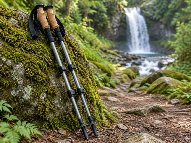 Illustration Bestseller TrailBuddy collapsible aluminum trekking poles (pair) Extra balance on wet rock and steep, muddy trails down to a waterfall. They fold short enough for a daypack. View on Amazon
We haven't tested these ourselves; we chose them by size and specs. As an Amazon Associate we earn from qualifying purchases, at no extra cost to you. Check the current price on Amazon.
Waterfalls in other states
Frequently asked questions
Which areas of Georgia have the most waterfalls?
The most waterfalls in our data are near Clayton (7), Blairsville (6) and Dahlonega (6). Among the tallest are Toccoa Falls (187 ft), Panther Creek Falls (131 ft) and Hemlock Falls (89 ft).
What is the tallest waterfall in Georgia?
Of the waterfalls with a mapped height, Toccoa Falls near Toccoa is the tallest at about 187 feet. Heights for Georgia come from OpenStreetMap and are not mapped for every fall.