 Outdoors Nearby
Murietta Falls
Murietta Falls is a waterfall in California, about 11 miles from Livermore. OpenStreetMap lists it as about 108 feet (33 m) high. The closest other named fall is Tehan Falls, about 16 miles away.
| Location | Near Livermore, California Directions |
|---|---|
| Height | about 108 ft (33 m) |
Mapped by OpenStreetMap volunteers. Water levels rise quickly after rain upstream, so keep away from the edge.
For the trail to the falls
-
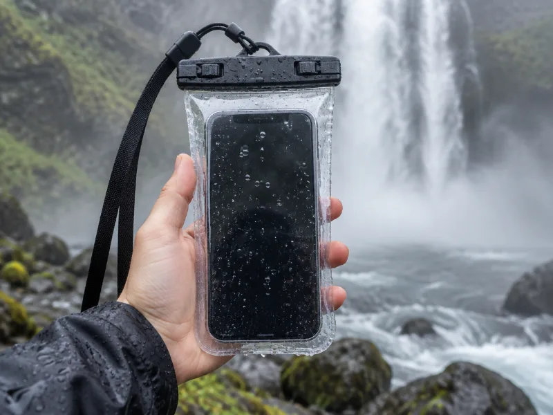 Illustration Lamicall waterproof phone pouch (IPX8) Keeps your phone dry in mist and spray near the falls, and you can still take photos through the clear window. View on Amazon
 -
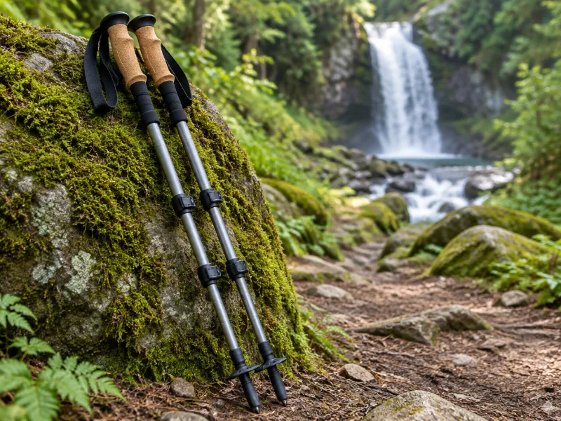 Illustration Bestseller TrailBuddy collapsible aluminum trekking poles (pair) Extra balance on wet rock and steep, muddy trails down to a waterfall. They fold short enough for a daypack. View on Amazon
We haven't tested these ourselves; we chose them by size and specs. As an Amazon Associate we earn from qualifying purchases, at no extra cost to you. Check the current price on Amazon.
More waterfalls nearby
- Tehan Falls 197 ft · near Dublin · 16 mi Directions
Frequently asked questions
Where is Murietta Falls?
In California, about 11 miles from Livermore, at 37.5337, -121.7158. The route ends as close as roads get; in California that can still mean a hike.
How tall is Murietta Falls?
About 108 feet (33 meters), according to OpenStreetMap.
What other waterfalls are near Murietta Falls?
Tehan Falls (16 mi).