 Outdoors Nearby
Waterfalls in Arizona
We list 47 named waterfalls in Arizona, with the most near Grand Canyon Village (7), Tanque Verde (6) and San Simon (6). Tallest on the map: Winn Falls at about 364 feet.
Waterfall areas: near Grand Canyon Village (7) · near Tanque Verde (6) · near San Simon (6)
Near Grand Canyon Village 7
- Havasu Falls 92 ft Directions
- Beaver Falls Directions
- Deer Creek Falls Directions
- Fiftyfoot Falls Directions
- Mooney Falls Directions
- Navajo Falls Directions
- Thunder River Falls Directions
Near Tanque Verde 6
- Seven Falls 36 ft · seasonal Directions
- Bridal Wreath Falls Directions
- Chiva Falls Directions
- Ernie's Falls Directions
- Seven Catarcts Directions
- Tanque Verde Falls trailhead 0.5 mi Directions
Near San Simon 6
- Winn Falls 364 ft Directions
- Pine Canyon Falls 30 ft Directions
- Jhus Falls Directions
- North Fork Falls Directions
- Sheila Falls Directions
- Upper East Turkey Creek Waterfall Directions
Near Grand Canyon 4
- Ribbon Falls Directions
- Cheyava Falls Directions
- Upper Ribbon Falls Directions
- Upper Upper Ribbon Falls Directions
Near Flagstaff 2
- Grand Falls 184 ft Directions
- Black Falls Directions
Near Pirtleville 2
- Brushy Canyon Falls Directions
- Callahan Falls Directions
Near Morenci 2
- Chitty Falls Directions
- Sardine Falls Directions
Near Meadview 2
- Pearce Ferry Rapid Directions
- Columbine Falls Directions
Near Peach Springs 2
- Travertine Falls Directions
- Two Hundred and Fivemile Rapids Directions
Near Carefree 1
- Camp Creek Falls Directions
Near Sierra Vista Southeast 1
- Carr Canyon Waterfall trailhead 0.6 mi Directions
Near LeChee 1
- Echo Peaks Fall seasonal Directions
Near Wellton 1
- Glynns Falls seasonal Directions
Near Swift Trail Junction 1
- Grant Creek Falls Directions
Near Sells 1
- Jaguar Canyon Water Falls seasonal Directions
Near Lukachukai 1
- Lower Twin Falls 125 ft · trailhead 0.9 mi Directions
Near Gold Canyon 1
- Massacre Falls trailhead 1.1 mi · seasonal Directions
Near Golden Shores 1
- Red Rock Falls Directions
Near Parks 1
- Sycamore Falls Directions
Near Supai 1
- Whitmore Rapids Directions
Near Prescott 1
- Wolf Creek Falls Directions
Near Willcox 1
- Wood Canyon Waterfall Directions
Near Tonto Basin 1
- Workman Creek Falls trailhead 0.7 mi Directions
From OpenStreetMap. Parking at popular Arizona falls fills up early on weekends. 39 smaller or less documented falls are listed with directions only.
For the trail to the falls
-
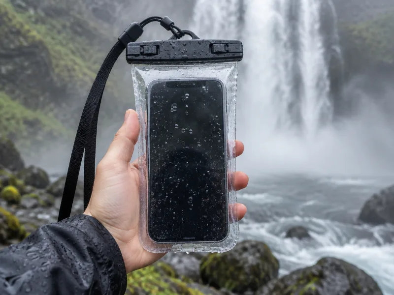 Illustration Lamicall waterproof phone pouch (IPX8) Keeps your phone dry in mist and spray near the falls, and you can still take photos through the clear window. View on Amazon
 -
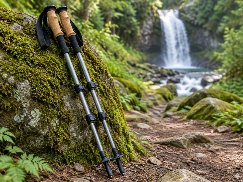 Illustration Bestseller TrailBuddy collapsible aluminum trekking poles (pair) Extra balance on wet rock and steep, muddy trails down to a waterfall. They fold short enough for a daypack. View on Amazon
We haven't tested these ourselves; we chose them by size and specs. As an Amazon Associate we earn from qualifying purchases, at no extra cost to you. Check the current price on Amazon.
Waterfalls in other states
Frequently asked questions
Where can you see waterfalls in Arizona?
The most waterfalls in our data are near Grand Canyon Village (7), Tanque Verde (6) and San Simon (6). Among the tallest are Winn Falls (364 ft), Grand Falls (184 ft) and Lower Twin Falls (125 ft).
What is the tallest waterfall in Arizona?
Of the waterfalls with a mapped height, Winn Falls near San Simon is the tallest at about 364 feet. Not every fall has a measured height on the map, so taller ones may be missing.
Do waterfalls in Arizona run all year?
5 of the 47 are marked as seasonal or intermittent, so they may be dry in late summer. Flow is usually best in spring and after rain.